Skift Take
Fans of the "Lost" television series could make something of this, surely. And for the record: iOS 6 maps don't include Sandy Island.
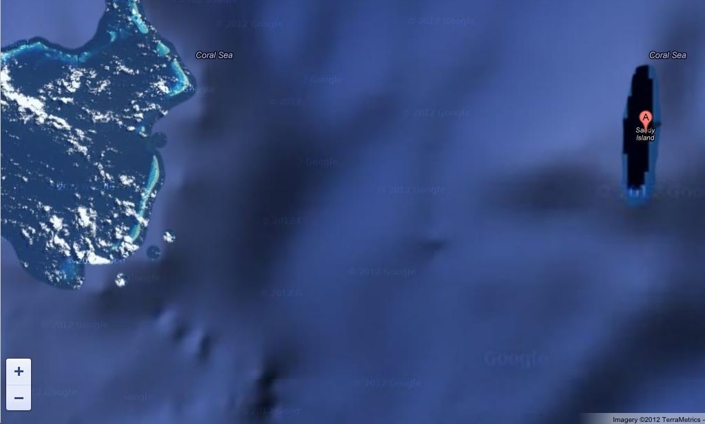
For more than a decade it has featured on the world's maps. Viewed from Google Earth, Sandy Island appears as a dark, tantalising sliver, set amid the shimmering vastness of the Pacific Ocean.
But when marine scientists arrived at the island in the Coral Sea off Australia they were in for something of a shock: it didn't exist. Where there was supposed to be a sandy outcrop complete with palm trees, a few coconuts and maybe a turtle there was merely blue undulating water.
The Australian scientists, led by Maria Seaton, a geologist at Sydney University, had embarked on a voyage to study plate tectonics. They spotted that the enigmatic island lay along their route.
But there were several puzzling discrepancies: though the island appeared on the Google Earth map, there were no images of it.
It had also featured for the past 12 years on the usually reliable world coastline database. But there was no sign of it on their sea chart.
Dr Steven Micklethwaite, a crew member from the University of Western Australia, recalled: "We went upstairs to the bridge and found that the navigation charts the ship uses didn't have